Advancing the River
Water Quality Improvement
Our watershed program focuses on protecting and improving water quality in the Wabash River. We work with residents, commercial and industrial entities, local and regional governments, local civic and environmental organizations, and other partners to identify and address water quality issues within the Wabash River watershed.
Protecting the River
What is a Watershed?
A watershed is an area of land from which water drains into a singular waterbody – in this case – the Wabash River. Surface watershed boundaries are determined by land elevation and are indeterminate of county or state lines, political boundaries or residential property lines. Groundwater similarly flows from high elevations to low elevations moving through permeable soils and fractured rock to the area of lowest elevation. Groundwater watersheds may not mesh with surface watersheds. Nonetheless protection of both surface and groundwater sources results in improved water conditions for all users.
Understanding the water cycle is critical to understand the watershed concept. The water cycle provides the Midwest with a seemingly endless supply of fresh water. In total, nearly 66% of the earth is covered by water – only 1% of all of this water is fresh water. This water is recycled year after year, decade after decade making protection of fresh water of highest importance. The valuable resource provided by fresh water helps maintain an environment suitable for plants, wildlife and humans.


Where We Work
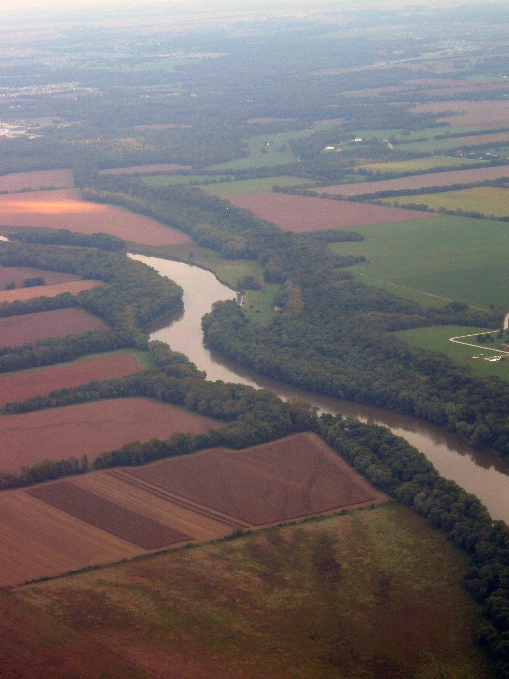
The Region of the Great Bend of the Wabash River
From its headwaters in Ohio, the Wabash River flows westerly through northern Indiana. When the river reaches Lafayette, it begins to turn south. In the 1920s, this region became known as the Region of the Great Bend of the Wabash River. This region embraces most of Tippecanoe County and portions of Fountain, Montgomery, and Warren Counties. This is where WREC focuses our watershed efforts- the Region of the Great Bend of the Wabash River.
The Region of the Great Bend of the Wabash River watershed project began in January 2009 with development of a watershed management plan. Since May 2011, the Region of the Great Bend of the Wabash River focuses on implementation of the cost-share program to improve water quality within this watershed, as well as extensive community education and outreach.
WREC also helped to develop a watershed management plan for the Deer Creek-Sugar Creek watershed which was finalized in 2012-2013. Phase II, implementing a cost-share program, ran from 2014-2015.
Extensive Water Quality Sampling
WREC worked with Purdue University on extensive water quality monitoring. This provided baseline data to be included in the watershed management plan and show a change in water quality over time. Sample sites were located on the Wabash River up and downstream of Greater Lafayette and on three tributaries – Little Pine Creek (control), Little Wea Creek (agricultural) and Elliot Ditch (urban). Sample sites are paired in an effort to identify changes in water quality.
See the results for these surveys below. Some of the parameters that were tested were temperature, pH, turbidity, conductivity, nitrate-nitrogen, phosphorous, suspended solids and E. coli. Graphs display the levels of these parameters over an extended period of time and explain how these different parameters impact water quality and the environment.
WREC also collected biological data and continues water quality monitoring using volunteer citizen scientists for the Wabash Sampling Blitz. Learn more about the water quality surveys program at Water Quality Monitoring.
Wabash Sampling Blitz
WREC also hosts a citizen-science water sampling event every spring and fall. The Wabash Sampling Blitz provides “snapshot” water quality data and allows residents to look at their local streams and waterways with a different viewpoint.